The Rogue River is used as a supplemental drinking water source during the peak-use months of May through September.
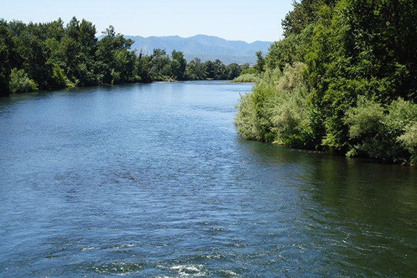
Originating near Crater Lake, the river is considered a high-quality source, but as a surface water source, it is subject to a much more extensive treatment process in order to meet drinking water standards. Water is withdrawn and treated at the Robert A. Duff Water Treatment Plant, located at the Robert L. Lee Water Quality Complex, on the river near Bybee Bridge and TouVelle State Park.
Current permits allow the use of up to 65 MGD (100 cubic feet per second) of natural stream flow water rights out of the Rogue River. The treatment capacity of the Duff Water Treatment Plant is currently 45 MGD; an expansion project to expand the capacity to 65 MGD is underway so that the capacity is available to meet the future needs of our growing community.
Lost Creek Reservoir
The lake, which contains approximately 250,000- acre feet of total storage, is located approximately 20 miles up the Rogue River from the Duff Water Treatment Plant. This reservoir is operated by the U.S. Army Corps of Engineers primarily as a flood control facility, but it also helps maintain stream flows during the summer. There are 10,000 acre-feet of stored water allocated for municipal and industrial use in the reservoir.
Currently, the cities of Phoenix, Jacksonville, and Talent purchase water from the reservoir. Each of the other cities served are required as part of their water supply contracts with Medford Water, to purchase their own Lost Creek water for treatment and transportation by our system.
The Rogue River Watershed
The Rogue River watershed includes the entire area of land upstream from the Duff Water Treatment Plant intake on the Rogue River, near Bybee Bridge, and is about 1 million acres in size (see the map below). The river originates near Crater Lake in the headwaters of this watershed. Mt. McLoughlin is the highest peak in the watershed, at an elevation of 9,495 feet.
This watershed—like the Big Butte Springs watershed—is a multiple-use watershed. There are numerous jurisdictional authorities and private entities with a wide range of land-uses and/or activities that can affect water quality within the watershed area, such as forestry, grazing, recreation, urban and rural residential, agriculture, wildlife habitat, municipal water, hunting, fishing, and tourism. In general, most development occurs in the lower elevations and along rivers and creeks. Around two-thirds of the land, primarily in the headwaters area, is publicly owned and managed by the U.S. Forest Service and Bureau of Land Management.
Since we have no jurisdictional authority, it is important to develop and maintain open working relationships with the various entities involved to minimize the risk to water quality. In addition to these collaborative activities, our management efforts for the Rogue River watershed are geared primarily around education and awareness; we will be augmenting the State’s Source Water Assessment and developing a Drinking Water Protection Plan for the Rogue source following the state guidelines for these programs.